Puzzle #33 — 2026-08-21
The answer was Uganda. The scene was built from Mbarara. Difficulty: hard.
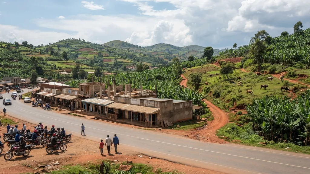
The clues, in the order they were revealed
- Banana gardens cover whole hillsides, with long-horned cattle on the rough pasture between.
- Rounded green hills at 1,400 m with wet valley bottoms.
- Motorcycle taxis wait in a rank; a red earth side road leaves the tarmac, traffic on the left.
- Signs are in English beside a Bantu language.
- The country is landlocked, on the equator, and holds part of the largest lake in Africa.
What the scene was built from
The location is chosen first, from a hand-curated whitelist, and the image is generated to match the description below. That order is what makes the answer checkable: the scene is built for the place, not guessed from the picture.
| vegetation | banana gardens covering whole hillsides, long-horned cattle on rough pasture, red earth between |
|---|---|
| terrain | rounded green hills at 1,400 m with wet valley bottoms between them |
| architecture | single-storey rendered shops in a row with deep shaded fronts, corrugated roofs, unfinished upper floors with rebar |
| roadside | left-hand traffic, motorcycle taxis waiting in a rank, a red murram side road leaving the tarmac |
| signage | Latin script, English beside a Bantu language (never rendered legibly) |
| light | clear equatorial highland light with cloud building by afternoon |
Where this actually is
Mbarara, Uganda sits at -0.62, 30.65 — see Mbarara, Uganda on OpenStreetMap. The clue ladder and the table above were both written from that place before any picture existed.
This day was not in the image-quality sample — its answer key was checked, its picture was not second-guessed. How the pictures are made, and why none of them is a photograph.